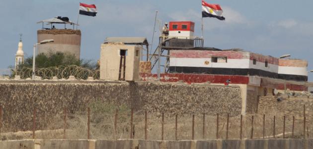
Egypt's borders
Egypt, officially known as the Arab Republic of Egypt, is considered one of the Arab countries located in the northeastern part of the continent of Africa, where it is bordered on the northern side by the Mediterranean Sea, on the eastern side by the Red Sea, on the southern side by Sudan, and on the western side by the Republic of Libya. It is also bordered on the north-eastern side by the State of Palestine. Most of Egypt's area belongs to Africa, but the Sinai Peninsula in its eastern part belongs to the continent of Asia.
The Gulf of Suez is located in eastern Egypt and connects the Mediterranean Sea to the Suez Canal. While a vast desert extends west of the Nile River, it is characterized by its small population and the presence of some oases in which agriculture is carried out using sustainable techniques. Among these oases are: Bahariya, Dakhla, Kharga, Farafra, and Siwa. As for southern Egypt, Lake Nasser extends over an area of 6000 km2 It represents the largest artificial water reservoir in the world, as Nile water is collected through the Aswan High Dam.
Along Egypt's borders
The length of the Egyptian coastline on the Red Sea and the Mediterranean Sea is 2450 km, and its land borders extend over a distance of 2612 km, where Egypt is bordered by three countries as follows: Palestine to the northeast with a length of 221 km, Libya to the west with a length of 1115 km, and Sudan to the south with a length of 1276 km. km, and it is noteworthy that Egypt has borders with straight lines that are not interspersed with distinct geographical terrain, the longest of which is with Sudan, which was determined according to the British-Egyptian treaty in 1899 AD, and the length of its borders with Libya was determined according to an agreement with Italy in 1925 AD.
Read also:First world countriesThe borders of ancient Egypt
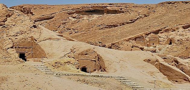
The Nile River contributed to the flourishing of civilizations on its banks, and the deserts extending along its sides helped isolate these civilizations geographically and protect them from any external invasion. There was no fixed concept of borders in ancient Egypt throughout historical times. The concept of border demarcation included geographical considerations. Political, religious, and administrative. The borders themselves changed throughout historical eras, and there were no distinguishing features in the vast isolated lands far from the Nile River. The borders of ancient Egypt varied as follows:
- Natural limits: It is a fixed geographical border that was defined by the Nile Valley, south to the Nile Falls, and north to the deserts surrounding the Nile Delta.
- Administrative boundaries: These are the borders that separated the Egyptian provinces, as they were identical to the natural borders in the dynastic era, and they extended in the Greco-Roman era due to the establishment of new provinces outside the scope of the previous provinces.
- Political boundaries: These borders were constantly changing according to political conflicts, and guarding these borders was considered one of the main tasks of the pharaohs.
- Ethnic boundaries: These boundaries were not entirely clear as they were subject to the religious, linguistic and cultural differences of the population.


