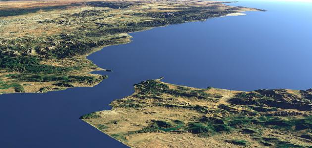


The geographical location of the Strait of Gibraltar
The Strait of Gibraltar is a channel that connects the Mediterranean Sea to the Atlantic Ocean, and this strait is located between the far south of Spain and the northwest side of the continent of Africa. (Point Cires), and the width of the strait on the western side is 58 km, which is the distance between the two capes of Trafalgar and Spartel, and its width on the eastern side is 13 km, which is the distance between the Pillars of Hercules, which was considered the location of the Rock of Gibraltar, or Mount Haku, which is located near From the Spanish city of Ceuta in Morocco, or the so-called Mount Moses in the State of Morocco.
The importance of Gibraltar
The importance of Gibraltar stems from naming it by this name, as this designation is due to the Arabic word Gibraltar, which is the mountain that the Umayyad conqueror Tariq ibn Ziyad took as his headquarters in his campaign and attack to open the Iberian Peninsula, and Gibraltar has historical importance; Where it was a base for the British armed forces and naval services, and the Strait of Gibraltar is distinguished by its natural beauty; It contains the most beautiful European caves.
Borders of the Strait of Gibraltar
The Strait of Gibraltar borders the following areas:
- The continent of Africa and the continent of Europe.
- The Arab Maghreb.
- Spain.
- The British colony of Gibraltar.
- Spanish Temple of Ceuta.
Some names for Gibraltar
Gibraltar was known by many names, including the following:
Read also:Where is Mount Ararat located?- Calpe Mountain: It is a name given to the mountain before the Arab Islamic conquest, and it means the cavity, or the hollow mountain. This is because there is a cave at the bottom of it, and this cave is known as the Cave of Foot.
- the rock.
- Conquest mountain.
- Tarek mountain.
- metaphor.
- Alley.


