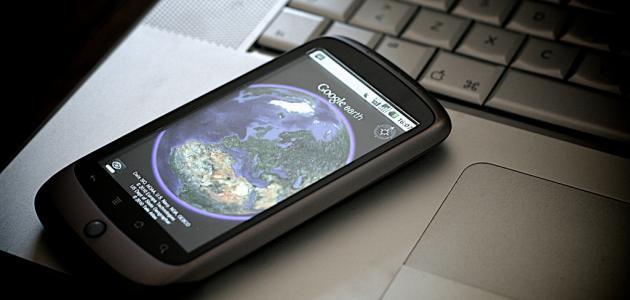


The main interface of Google Earth
The main interface of the Google Earth application is simple and easy to use. In the center of the screen is a frame that contains a map of the place. On the side of the frame is a knob for zooming in and out and buttons for moving and rotating. The coordinates of the site being browsed appear at the bottom of the screen. On the left side are the layers box, and there is also a list of sites. that have been searched recently, and at the top of the screen there are several icons that facilitate the process of browsing maps, from which it is also possible to operate the Street View feature that enables the user to search by street address, as real pictures of the searched places appear.
Icons in Google Earth
After opening the Google Earth program, the user will notice the icons that show the layers and the navigation buttons in the map, including the buttons for zooming in, zooming out, tilting, and rotating, in addition to the 3D feature that provides 3D maps. As for maps that do not have the XNUMXD feature, this is due to the lack of pictorial maps. Its where visual data comes from satellites and aerial photos taken by aircraft.
Using Layers in Google Earth
On the left side of the main screen of Google Earth, there is a list of layers, through which the layers can be shown or hidden by clicking on the name of the layer. Google Earth also displays the postal code and statistics listed for certain areas, in addition to enabling its users to add their own descriptions of the places.
Read also:What is meant by e-mail addressUsing Google Earth
After downloading the program on the computer, you can start searching for any place by typing its name in the search box in the program. An image of the site will appear that can be enlarged from the zoom buttons. To get more information about the location or convert the image into a real map, you must run some of the available layers, such as Restaurants, housing, banks, roads, terrain, shopping centers, gas stations, parks, schools, and many other properties, and to show a simple map that shows only roads, the roads layer can be operated, and the same applies to those who want to search for schools, hospitals, or others, they can run the layer for what they want to search for in maps .
Read also:How to create a yahoo account


